www.davidcookaviator.com
 |
DAVID COOK AVIATOR |
 |
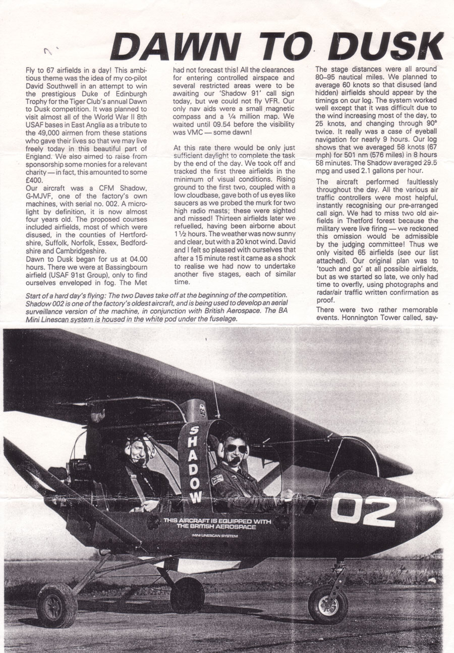
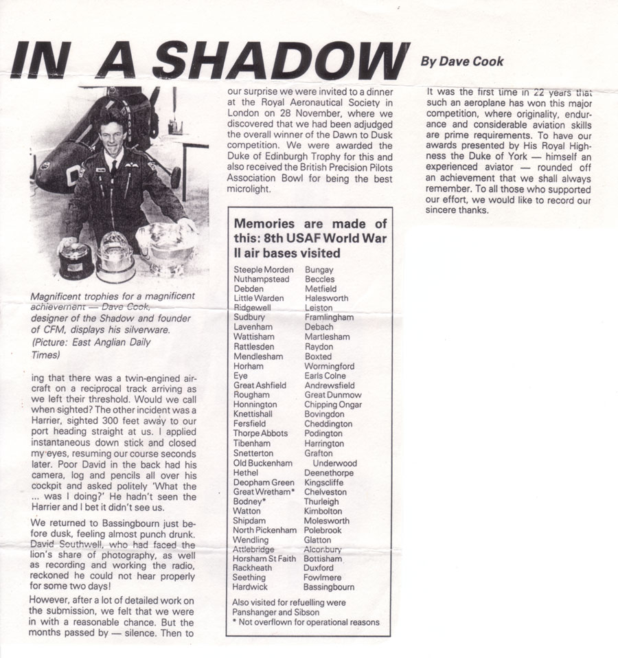
DAWN TO DUSK
Click on photos to enlarge repeat to shrink
 |
 |
 |
 |
Regarding the 2 items above. There is a 1/2 million scale Aeronautical Map of the route flown in Shadow 02, and the Flight summary, giving details of Flight Times, Speeds, and fuel consumption. They both formed part of our submission to the competition organisers. The route in Blue, (which was very roughly clockwise) started and finished at Bassingbourn, and I know that it looks like a fly has crawled over a map of East Anglia. Why we took the route shown is explained by the rules which stated that any change of course must involve a turn of more than 15 degrees. This was quite difficult to achieve because of the proximity of a lot of the airfields we were trying to visit. On the day before the event I positioned fuel supplies at Panshanger, and Sibson, the refuelling stops at Eye, Shipdham and Framlingham were dealt with by CFM. On the day after I had to go back to 'my 2' airfields to retrieve my empty fuel cans. All in all it was a very busy 3 days both on the ground and in the air. My hearing returned to normal after 3 days. 9 hours in the back of a Shadow without a very good headset was, in retrospect, not too advisable.
© Copyright David Southwell
........................................................................
A letter from David Southwell 12th December 2010
Covering the Dusk To Dawn event that took place 15th October 1989
|